• Lightning EXT is an ArcGIS® extension and GIS service that greatly enhances your lightning data subscription.
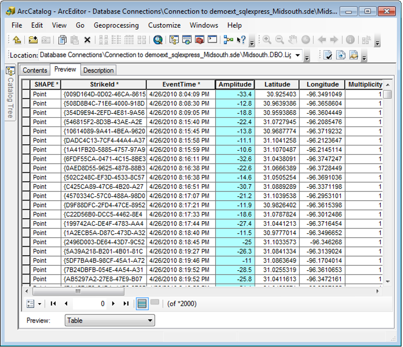
• Lightning EXT automatically imports data from your lightning provider into the geodatabase.
• Lightning EXT spatially re-projects strikes into the coordinate system of the geodatabase.
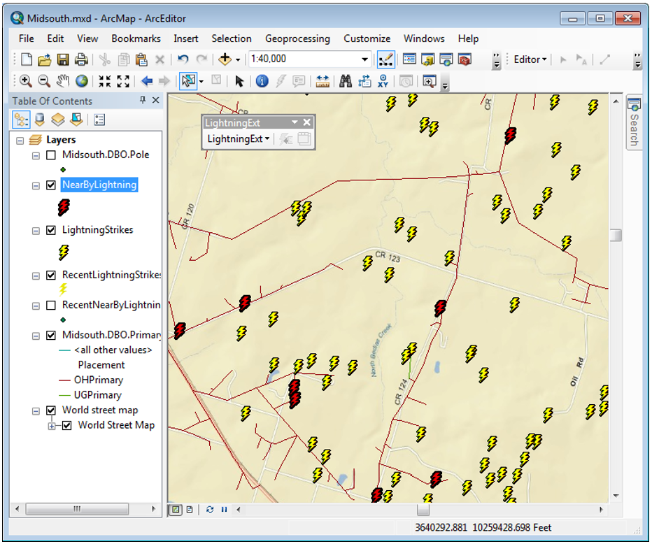
• Lightning EXT maintains feature classes for recent strikes, archived strikes, and strikes near predefined facilities (nearby strikes).
• Lightning EXT allows the user to filter strikes based on whether the strike is cloud-to-ground, inside a service-boundary, has a certain amplitude or has a certain error area.
• Lightning EXT supports both the United States Precision Lightning Network (USPLN) and the Earth Networks Total Lightning Network (ENTLN).
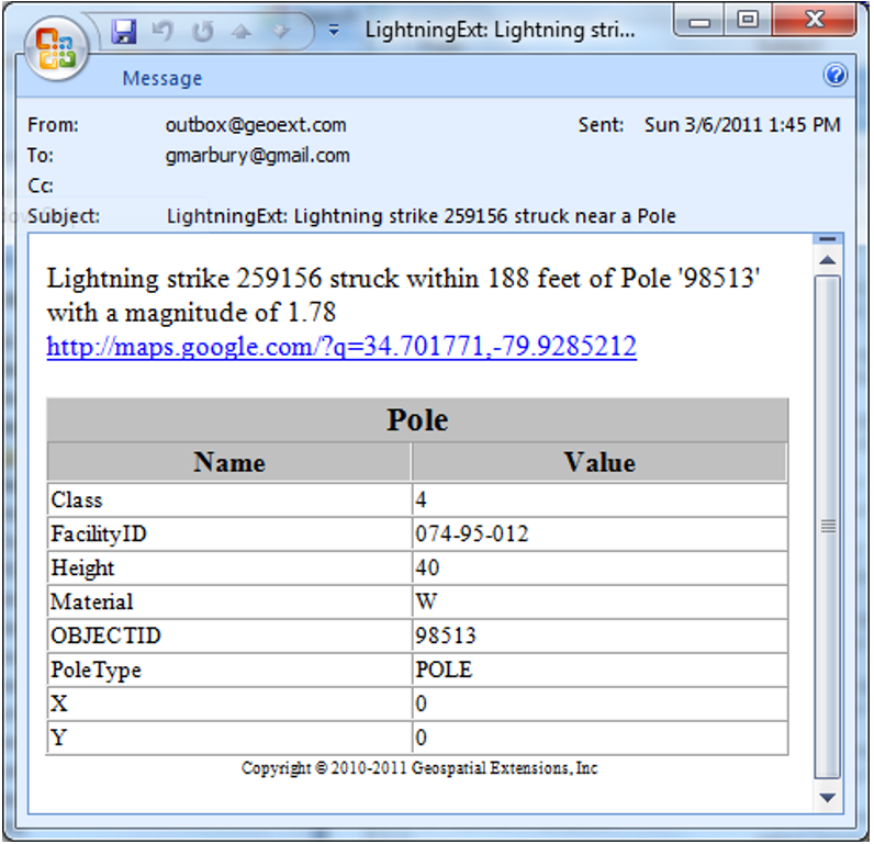
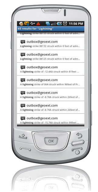
• Lightning EXT sends an email or text message, including a hyperlink to the map location, when lightning strikes near a facility.
Download This PDF and get more information.